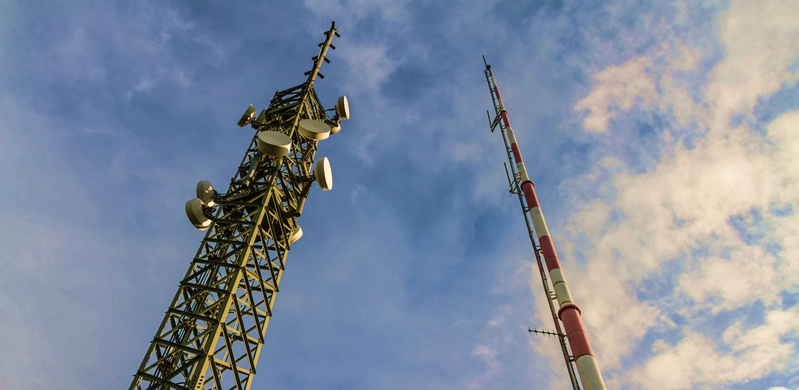
There’s lots to talk about when it comes to 5G networks and rollout. Most of the conversations center around the network and the products that run on it, but there must be infrastructure to support it in the first place. Here we take a closer look at the challenges of rolling out 5G utility equipment at a street level.
As a recap, unlike cell phone towers, 5G networks run on individual, small nodes that are attached to utility poles one-by-one. These nodes create a series of mini “towers” on utility poles throughout a city or region to provide 5G access in targeted areas. While the network gets faster and easier to access, it also becomes denser and the rollout process can be complicated.


This is how 5G deployment starts: every carrier that wants to attach a 5G node and its associated wiring to a utility pole must file a request with the pole owner. To ensure a safe and effective attachment of a 5G node, both the carrier and pole owner need data about the pole before approval is granted. This includes information about who owns the pole, what it’s made of, its line capacity and structural load, the providers that are allowed to attach equipment to it, what equipment is already on it, who approved the existing attachment(s), and if it’s up to current standards.
One of the most critical data points is whether there’s enough room on the pole and its surrounding areas to attach a node and run 5G. Sometimes this means that existing attachments on the pole aren’t up to code or must be moved to make space, which creates more work. And to begin work on deploying a network, this measurement and documentation process has to be completed for every individual utility pole.
While most utility poles are standard size, the data about the surrounding environment and structural capabilities of each pole is unique. It can make the difference between approval and denial of 5G on one pole, or in an entire area. Historically, getting that data requires a field crew to take and record measurements for each pole. This is not a simple or speedy process, especially when it comes to demands of rapid 5G deployment.
Regardless of the experience of the field crew, the traditional method to measure a pole is by using a hot stick. This is a fiberglass measurement tool that can be raised and lowered to measure a pole and its attachments. The second part of the process requires documenting the measurements. All of this is manual, done by hand, so you can imagine how easily this job lends itself to inaccuracies, missed measurements, and the challenge of collecting all of that information into a central location as a basis for decision-making.
An alternative option that’s becoming more popular is the use of a handheld 3D imager that, with the press of a button, measures the objects and structures in any photo that you take using the device. For 5G rollout and any other utility attachment, a handheld imager can measure and document the utility poles because it allows you to measure 3D objects within a picture. The measurements are accurate on the first take, eliminating the need to retrace the same steps if inaccuracies are discovered later. It also reduces the number of people in the field, often by half, and speeds up the entire measurement process.
With these handheld 3D imagers, creating a standardized process for collection of data for a utility pole ensures that every utility service provider, pole owner, structural engineer, or a state agency in charge of utilities has access to the same accurate dimensional data. And those images and related data have a long shelf life if there’s ever a need to revisit the pole. Instead of sending out a crew, you can pull them up on your screen.
This is how to accelerate a 5G rollout. But with a handheld imager that offers multiple data storage and transfer functions, integrating an app that captures pole infrastructure data with measurement data allows a field tech to input dimensional data in real time for each utility pole they measure.
As the data gets collected for each pole, it gets stored digitally in the same database for all stakeholders to access. Yet all the data that gets collected for each pole may need to be modified during a rollout project. There are apps like Alden’s Task Agent for field data collection and platforms like Alden One, available from Alden Systems, for managing volumes of utility infrastructure and pole measurement data that can be used to inform field activities and business decisions. Handheld 3D imagers can run an app like Alden’s Task Agent to help streamline utility documentation.
When all the processes and roles for utility infrastructure documentation work in harmony, a centralized platform with accurate data enables pole owners, network carriers, engineers, analysts, and project managers to easily access, share, and collaborate with information on 5G deployments using a far more efficient and speedy process.